PUBLIC ATLAS / UNITED STATES / 2026
Civic evidence,
organized for use.
A source-linked national atlas for people and agents. Built as bounded, versioned releases so developers, planners, builders, and the curious can explore what is known—and see what still needs verification.
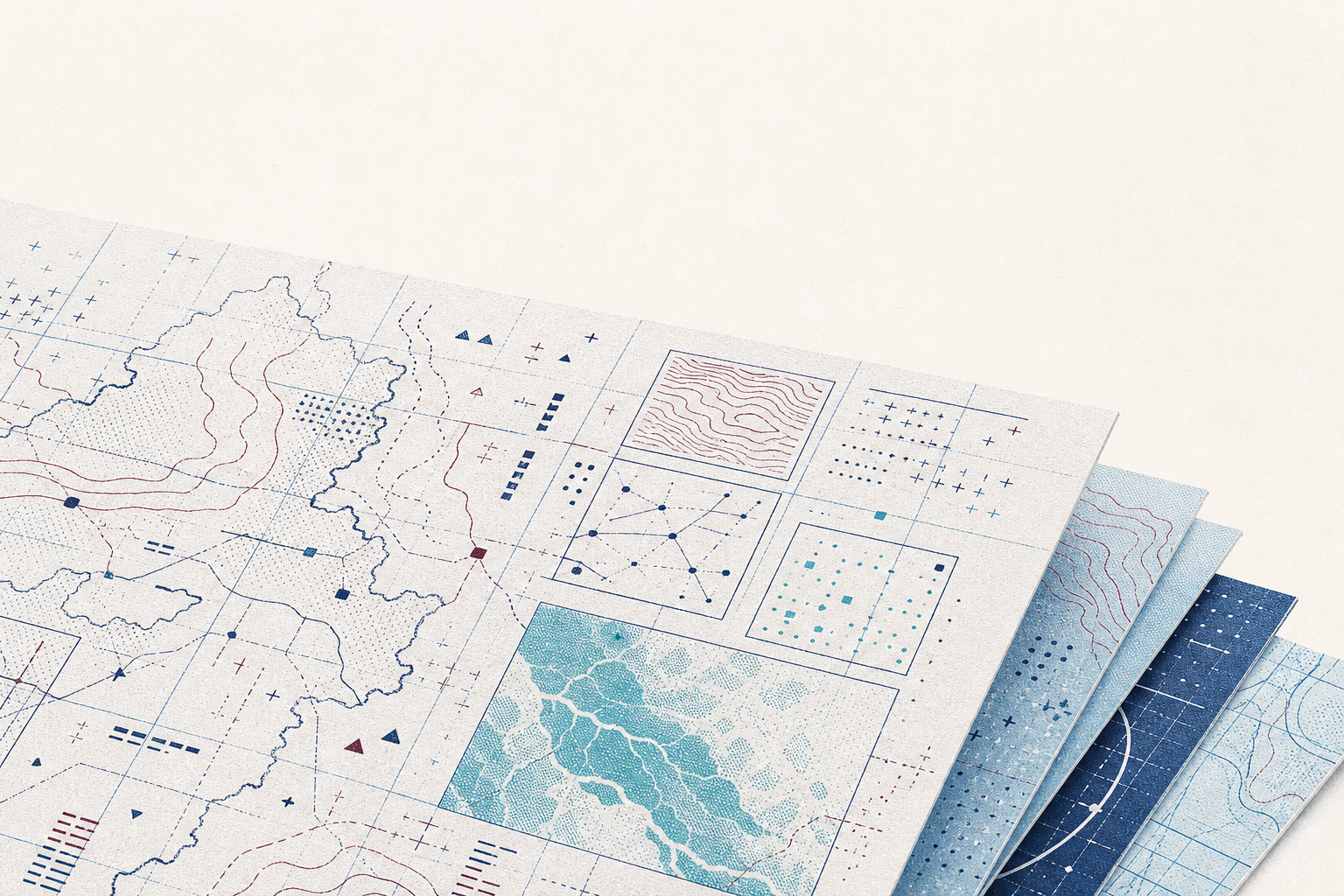
- 01 / OWNER PREVIEW
- ACTIVE · ACCESS CONTROLLED
- 02 / PUBLIC INDEX
- LIVE · 112,477 RECORDS
- 03 / AGENT SURFACE
- LIVE · 12 WEBMCP TOOLS
PUBLICATION METHOD / 01—03
Infrastructure for trustworthy retrieval.
-
01
Keep the source attached.
Every publishable object retains provenance, source identity, and a visible evidence boundary.
-
02
Bound every release.
State and local evidence is packaged into immutable, versioned releases that can be checked and reproduced.
-
03
Leave unknowns unknown.
Coverage gaps, unclear rights, and absent geometry remain explicit. Civic Layers does not invent connectivity or field condition.
CURRENT PUBLICATION BOUNDARY / 2026-08-30
The public national index is live.
Release cl_09522c0a31b44e591f1974ff indexes 112,477 source-linked records and 1,152 source cards across 26 released states. The remaining 25 jurisdictions stay visibly listed as coming soon rather than being presented as empty real-world claims.
Machine-readable status / JSON